#include <vtkGeoAdaptiveArcs.h>
Detailed Description
Definition at line 37 of file vtkGeoAdaptiveArcs.h.
Member Typedef Documentation
Reimplemented from vtkPolyDataAlgorithm.
Definition at line 42 of file vtkGeoAdaptiveArcs.h.
Constructor & Destructor Documentation
| vtkGeoAdaptiveArcs::vtkGeoAdaptiveArcs | ( | ) | [protected] |
| vtkGeoAdaptiveArcs::~vtkGeoAdaptiveArcs | ( | ) | [protected] |
Member Function Documentation
| static vtkGeoAdaptiveArcs* vtkGeoAdaptiveArcs::New | ( | ) | [static] |
Create an object with Debug turned off, modified time initialized to zero, and reference counting on.
Reimplemented from vtkPolyDataAlgorithm.
| static int vtkGeoAdaptiveArcs::IsTypeOf | ( | const char * | name | ) | [static] |
Return 1 if this class type is the same type of (or a subclass of) the named class. Returns 0 otherwise. This method works in combination with vtkTypeMacro found in vtkSetGet.h.
Reimplemented from vtkPolyDataAlgorithm.
| virtual int vtkGeoAdaptiveArcs::IsA | ( | const char * | name | ) | [virtual] |
Return 1 if this class is the same type of (or a subclass of) the named class. Returns 0 otherwise. This method works in combination with vtkTypeMacro found in vtkSetGet.h.
Reimplemented from vtkPolyDataAlgorithm.
| static vtkGeoAdaptiveArcs* vtkGeoAdaptiveArcs::SafeDownCast | ( | vtkObjectBase * | o | ) | [static] |
Reimplemented from vtkPolyDataAlgorithm.
| virtual vtkObjectBase* vtkGeoAdaptiveArcs::NewInstanceInternal | ( | ) | const [protected, virtual] |
Reimplemented from vtkPolyDataAlgorithm.
Reimplemented from vtkPolyDataAlgorithm.
| void vtkGeoAdaptiveArcs::PrintSelf | ( | ostream & | os, |
| vtkIndent | indent | ||
| ) | [virtual] |
Methods invoked by print to print information about the object including superclasses. Typically not called by the user (use Print() instead) but used in the hierarchical print process to combine the output of several classes.
Reimplemented from vtkPolyDataAlgorithm.
| virtual void vtkGeoAdaptiveArcs::SetGlobeRadius | ( | double | ) | [virtual] |
The base radius used to determine the earth's surface. Default is the earth's radius in meters. TODO: Change this to take in a vtkGeoTerrain to get altitude.
| virtual double vtkGeoAdaptiveArcs::GetGlobeRadius | ( | ) | [virtual] |
The base radius used to determine the earth's surface. Default is the earth's radius in meters. TODO: Change this to take in a vtkGeoTerrain to get altitude.
| virtual void vtkGeoAdaptiveArcs::SetMaximumPixelSeparation | ( | double | ) | [virtual] |
The maximum number of pixels between points on the arcs. If two adjacent points are farther than the threshold, the line segment will be subdivided such that each point is separated by at most the threshold.
| virtual double vtkGeoAdaptiveArcs::GetMaximumPixelSeparation | ( | ) | [virtual] |
The maximum number of pixels between points on the arcs. If two adjacent points are farther than the threshold, the line segment will be subdivided such that each point is separated by at most the threshold.
| virtual void vtkGeoAdaptiveArcs::SetMinimumPixelSeparation | ( | double | ) | [virtual] |
The minimum number of pixels between points on the arcs. Points closer than the threshold will be skipped until a point farther than the minimum threshold is reached.
| virtual double vtkGeoAdaptiveArcs::GetMinimumPixelSeparation | ( | ) | [virtual] |
The minimum number of pixels between points on the arcs. Points closer than the threshold will be skipped until a point farther than the minimum threshold is reached.
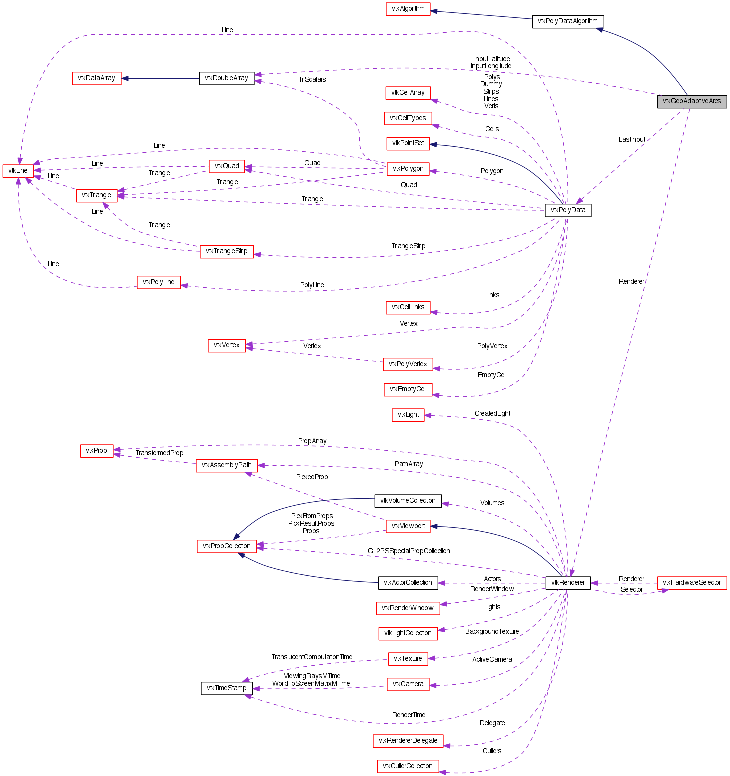
| virtual void vtkGeoAdaptiveArcs::SetRenderer | ( | vtkRenderer * | ren | ) | [virtual] |
The renderer used to estimate the number of pixels between points.
| virtual vtkRenderer* vtkGeoAdaptiveArcs::GetRenderer | ( | ) | [virtual] |
The renderer used to estimate the number of pixels between points.
| virtual unsigned long vtkGeoAdaptiveArcs::GetMTime | ( | ) | [virtual] |
Return the modified time of this object.
Reimplemented from vtkObject.
| int vtkGeoAdaptiveArcs::RequestData | ( | vtkInformation * | , |
| vtkInformationVector ** | , | ||
| vtkInformationVector * | |||
| ) | [protected, virtual] |
Convert the vtkGraph into vtkPolyData.
Reimplemented from vtkPolyDataAlgorithm.
Member Data Documentation
vtkRenderer* vtkGeoAdaptiveArcs::Renderer [protected] |
Definition at line 86 of file vtkGeoAdaptiveArcs.h.
double vtkGeoAdaptiveArcs::GlobeRadius [protected] |
Definition at line 87 of file vtkGeoAdaptiveArcs.h.
double vtkGeoAdaptiveArcs::MaximumPixelSeparation [protected] |
Definition at line 88 of file vtkGeoAdaptiveArcs.h.
double vtkGeoAdaptiveArcs::MinimumPixelSeparation [protected] |
Definition at line 89 of file vtkGeoAdaptiveArcs.h.
unsigned long vtkGeoAdaptiveArcs::LastInputMTime [protected] |
Definition at line 90 of file vtkGeoAdaptiveArcs.h.
vtkPolyData* vtkGeoAdaptiveArcs::LastInput [protected] |
Definition at line 91 of file vtkGeoAdaptiveArcs.h.
vtkDoubleArray* vtkGeoAdaptiveArcs::InputLatitude [protected] |
Definition at line 92 of file vtkGeoAdaptiveArcs.h.
vtkDoubleArray* vtkGeoAdaptiveArcs::InputLongitude [protected] |
Definition at line 93 of file vtkGeoAdaptiveArcs.h.
The documentation for this class was generated from the following file:
- dox/Geovis/Core/vtkGeoAdaptiveArcs.h