Splits hi-res image into tiles. More...
#include <vtkGeoAlignedImageSource.h>
Detailed Description
Splits hi-res image into tiles.
vtkGeoAlignedImageSource uses a high resolution image to generate tiles at multiple resolutions in a hierarchy. It should be used as a source in vtkGeoAlignedImageRepresentation.
- Events:
- vtkCommand::ProgressEvent
Definition at line 48 of file vtkGeoAlignedImageSource.h.
Member Typedef Documentation
Reimplemented from vtkGeoSource.
Definition at line 52 of file vtkGeoAlignedImageSource.h.
Constructor & Destructor Documentation
| vtkGeoAlignedImageSource::vtkGeoAlignedImageSource | ( | ) | [protected] |
| vtkGeoAlignedImageSource::~vtkGeoAlignedImageSource | ( | ) | [protected] |
Member Function Documentation
| static vtkGeoAlignedImageSource* vtkGeoAlignedImageSource::New | ( | ) | [static] |
Create an object with Debug turned off, modified time initialized to zero, and reference counting on.
Reimplemented from vtkObject.
| static int vtkGeoAlignedImageSource::IsTypeOf | ( | const char * | name | ) | [static] |
Return 1 if this class type is the same type of (or a subclass of) the named class. Returns 0 otherwise. This method works in combination with vtkTypeMacro found in vtkSetGet.h.
Reimplemented from vtkGeoSource.
| virtual int vtkGeoAlignedImageSource::IsA | ( | const char * | name | ) | [virtual] |
Return 1 if this class is the same type of (or a subclass of) the named class. Returns 0 otherwise. This method works in combination with vtkTypeMacro found in vtkSetGet.h.
Reimplemented from vtkGeoSource.
| static vtkGeoAlignedImageSource* vtkGeoAlignedImageSource::SafeDownCast | ( | vtkObjectBase * | o | ) | [static] |
Reimplemented from vtkGeoSource.
| virtual vtkObjectBase* vtkGeoAlignedImageSource::NewInstanceInternal | ( | ) | const [protected, virtual] |
Reimplemented from vtkGeoSource.
Reimplemented from vtkGeoSource.
| void vtkGeoAlignedImageSource::PrintSelf | ( | ostream & | os, |
| vtkIndent | indent | ||
| ) | [virtual] |
| virtual bool vtkGeoAlignedImageSource::FetchRoot | ( | vtkGeoTreeNode * | node | ) | [virtual] |
Fetch the root image.
Implements vtkGeoSource.
| virtual bool vtkGeoAlignedImageSource::FetchChild | ( | vtkGeoTreeNode * | parent, |
| int | index, | ||
| vtkGeoTreeNode * | child | ||
| ) | [virtual] |
Fetch a child image.
Implements vtkGeoSource.
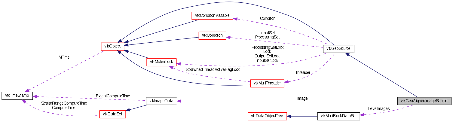
| virtual vtkImageData* vtkGeoAlignedImageSource::GetImage | ( | ) | [virtual] |
The high-resolution image to be used to cover the globe.
| virtual void vtkGeoAlignedImageSource::SetImage | ( | vtkImageData * | image | ) | [virtual] |
The high-resolution image to be used to cover the globe.
| virtual void vtkGeoAlignedImageSource::SetLatitudeRange | ( | double | , |
| double | |||
| ) | [virtual] |
The range of the input hi-res image.
| void vtkGeoAlignedImageSource::SetLatitudeRange | ( | double | [2] | ) |
The range of the input hi-res image.
| virtual double* vtkGeoAlignedImageSource::GetLatitudeRange | ( | ) | [virtual] |
The range of the input hi-res image.
| virtual void vtkGeoAlignedImageSource::GetLatitudeRange | ( | double & | , |
| double & | |||
| ) | [virtual] |
The range of the input hi-res image.
| virtual void vtkGeoAlignedImageSource::GetLatitudeRange | ( | double | [2] | ) | [virtual] |
The range of the input hi-res image.
| virtual void vtkGeoAlignedImageSource::SetLongitudeRange | ( | double | , |
| double | |||
| ) | [virtual] |
The range of the input hi-res image.
| void vtkGeoAlignedImageSource::SetLongitudeRange | ( | double | [2] | ) |
The range of the input hi-res image.
| virtual double* vtkGeoAlignedImageSource::GetLongitudeRange | ( | ) | [virtual] |
The range of the input hi-res image.
| virtual void vtkGeoAlignedImageSource::GetLongitudeRange | ( | double & | , |
| double & | |||
| ) | [virtual] |
The range of the input hi-res image.
| virtual void vtkGeoAlignedImageSource::GetLongitudeRange | ( | double | [2] | ) | [virtual] |
The range of the input hi-res image.
| virtual void vtkGeoAlignedImageSource::SetOverlap | ( | double | ) | [virtual] |
The overlap of adjacent tiles.
| virtual double vtkGeoAlignedImageSource::GetOverlap | ( | ) | [virtual] |
The overlap of adjacent tiles.
| virtual void vtkGeoAlignedImageSource::SetPowerOfTwoSize | ( | bool | ) | [virtual] |
Whether to force image sizes to a power of two.
| virtual bool vtkGeoAlignedImageSource::GetPowerOfTwoSize | ( | ) | [virtual] |
Whether to force image sizes to a power of two.
| virtual void vtkGeoAlignedImageSource::PowerOfTwoSizeOn | ( | ) | [virtual] |
Whether to force image sizes to a power of two.
| virtual void vtkGeoAlignedImageSource::PowerOfTwoSizeOff | ( | ) | [virtual] |
Whether to force image sizes to a power of two.
| void vtkGeoAlignedImageSource::CropImageForNode | ( | vtkGeoImageNode * | node, |
| vtkImageData * | image | ||
| ) | [protected] |
| int vtkGeoAlignedImageSource::PowerOfTwo | ( | int | val | ) | [protected] |
Member Data Documentation
vtkImageData* vtkGeoAlignedImageSource::Image [protected] |
Definition at line 95 of file vtkGeoAlignedImageSource.h.
Definition at line 96 of file vtkGeoAlignedImageSource.h.
double vtkGeoAlignedImageSource::LatitudeRange[2] [protected] |
Definition at line 97 of file vtkGeoAlignedImageSource.h.
double vtkGeoAlignedImageSource::LongitudeRange[2] [protected] |
Definition at line 98 of file vtkGeoAlignedImageSource.h.
double vtkGeoAlignedImageSource::Overlap [protected] |
Definition at line 99 of file vtkGeoAlignedImageSource.h.
bool vtkGeoAlignedImageSource::PowerOfTwoSize [protected] |
Definition at line 100 of file vtkGeoAlignedImageSource.h.
vtkProgressObserver* vtkGeoAlignedImageSource::ProgressObserver [protected] |
Definition at line 103 of file vtkGeoAlignedImageSource.h.
The documentation for this class was generated from the following file:
- dox/Geovis/Core/vtkGeoAlignedImageSource.h